


Dedicated Sensor Hardware for visual Navigation
Enhancing UAV Platforms with visual Navigation
Evaluation of current UAV Platforms
Our new sensor technology is based on visual-inertial data fusion and is developed in collaboration with the Autonomous Systems Lab at ETH Zurich. The VI sensor is a dedicated hardware plattform that enables to implement state of the art visual odometry pipelines. The factory-calibrated sensor outputs streams of precisely time-synchronized IMU data and stereo camera images. In addition, the user-accessible onboard computing units can be used to directly compute and output the feature stream from these measurements.
The VI sensor hardware thus allows to readily implement computer vision and localization algorithms for applications like 3D mapping or navigation in mobile robotics.
Sign up for our newsletter
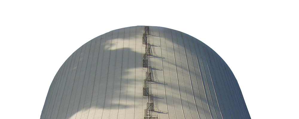
Aerial visual inspection requires a tool that allows an inspection expert to easily acquire relevant visual data for inspection planning. The control of the remote sensing platform must be intuitive, safe and flexible and must not require particular piloting skills. Robust and accurate position information is required to achieve this.
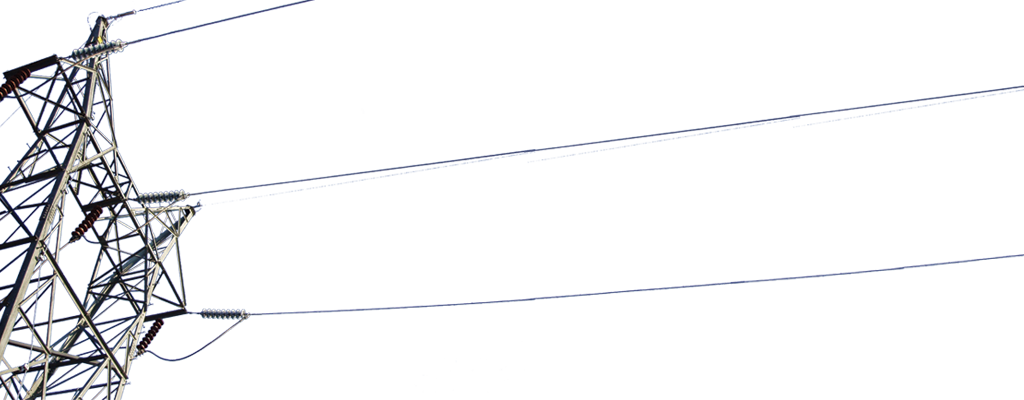
While the accuracy of GPS-based navigation is sufficient in outdoor open spaces, it fails indoors and in proximity of structures. Industrial inspection however relies on stable video feeds captured as close to walls, beams, chimneys etc. as possible. Skybotix sensor technology allows UAVs to stabilize and navigate inside and close to structures that need to be inspected.
We are currently evaluating different UAV platforms for our sensor and navigation stack integration.